Jacksonville Local Guide
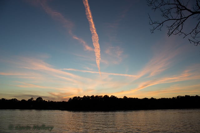
Lake Jacksonville
Fishing, boating, camping, swimming, and quiet afternoons on the water, just outside Jacksonville, Texas.
Explore places to go, compare public boat ramps, and check the live weather and reservoir readings below before you visit.
Lake Jacksonville Conditions
Weather forecast, reservoir readings, and official alerts in one place.
Forecast air temperature
—NWS hourly forecast
Forecast wind
—Wind at forecast point, not a lake anemometer
Rain chance
—Hourly NWS forecast probability
Reservoir elevation
—Feet above NGVD29
Reservoir percent full
—TWDB conservation capacity
Relative to full pool
—Reference: conservation pool
Forecast time: checking…
Lake reading: checking…
Forecasts are estimates, not readings from a weather station on the lake. Reservoir data are provisional and may be delayed. This panel is not an emergency-warning service. TWDB · USGS station 08032200 · NWS
Start Here
Plan your lake day
Pick the activity that brings you here. This guide brings together the essentials, with official links for reservations and rules that may change.
Camping & RV Sites
The City lists screened shelters, campsites, RV pads, water and electric service, restrooms, and showers at the recreation area.
City campground details →Boating & Access
Three public ramps offer different parking, launch lanes, and amenities. Compare the routes before towing a boat to the lake.
Compare boat ramps →Fishing
Largemouth bass, spotted bass, crappie, and sunfish are among TPWD-listed species. Lake-specific regulations apply.
Explore fishing →Swimming & Day Use
The City describes a public beach, swimming pier, and lakeside recreation area. Confirm access and posted safety rules before visiting.
Visitor information & rules →Launch Points
Three public boat ramps
Each ramp has a different route and parking capacity. The descriptions below are based on Texas Parks & Wildlife’s official access information.
Launch fees: TPWD lists no launch fee at Northwest, Peninsula Point, or Southshore. Camping and other services may have separate fees. Year-round listings do not guarantee current ramp usability.
Directions: From Jacksonville, take US 79 west to FM 747, go south about 1 mile, then turn left at the paved public-ramp sign. Single-lane launch; low water can make access difficult.
Directions: From US 69, follow Commerce Street (US 79) west, then College Avenue south onto Old Byrd Road. Two lanes; TPWD lists restrooms, accessible facilities, a courtesy dock, picnic area, and camping.
Directions: Take US 79 west about 2 miles, FM 747 south about 2.5 miles, then left on Southshore Drive. Two-lane paved launch near the dam, with TPWD-listed picnic and camping amenities.
TPWD’s listings describe normal access, not real-time closures. Check lake conditions and local notices before launching.
Fishing
Fishing Lake Jacksonville
TPWD highlights largemouth bass, spotted bass, crappie, and sunfish. Deep structure, brush, the dam, and lighted piers can offer productive fishing.
Lake-specific bag and size limits apply. Always check the current state regulations before you cast.
Current Fishing RegulationsFishing details and species notes are based on the TPWD Lake Jacksonville profile.
A Jacksonville Landmark
Built for water supply, loved for recreation
Lake Jacksonville was built on Gum Creek in the Neches River basin as a municipal water-supply reservoir. The City remains its controlling authority while the lake also supports recreation and a lakeside community.
The City began blocking Gum Creek in February 1956. Buckner Dam was completed in August 1957. Over the years, the wooded shoreline became a setting for camping, boating, fishing, swimming, and lake living.
Before You Go
The details that can change
The live conditions dashboard above already shows lake levels and weather. For rules, visitor maps, reservations, or facility availability, use these official City resources.
Know the lake rules
Check the City’s current rules for boating, swimming, fishing, camping, and lakeside facilities. Weather and reservoir data are not a swimming-safety clearance.
City lake regulations →Find City lake resources
Find lake maps, important contacts, and resident information. Confirm beach, swimming-pier, campground, and restroom access before visiting.
City lake resources & contacts →Explore More Jacksonville
Make a day of it
Find local parks, visitor ideas, helpful resources, and more ways to explore Jacksonville through Our Town.